آموزش استفاده از آخرین نسخه برنامه Civil3D
Udemy – Civil3D – MEGA course for Civil Works using the last version

استفاده از آخرین نسخه برنامه Civil3D
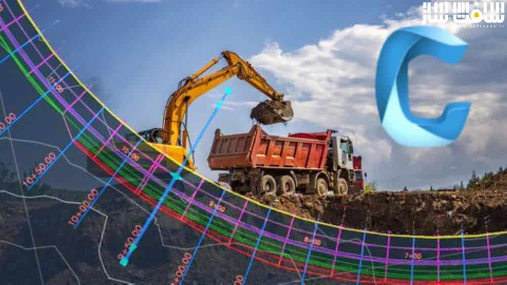
آموزش استفاده از آخرین نسخه برنامه Civil3D : در این دوره از AulaGEO Academy، با نحوه طراحی تمامی کارهای زمین از صفر تا متخصص شدن را در Civil3D آشنا می شوید. Civil3D یکی از پر کاربرد ترین نرم افزار جهت طراحی و آنالیز کارهای عمرانی در زمینه مهندسی،توپوگرافی و طراحی زمین است. این دوره نرم افزار AutoDesk Civil3D 2022 بصورت گام به گام شرح می دهد.
این دوره موضوعاتی چون نقاط،سطوح،ترازبندی ، نحوه ارائه ویو ها و ارائه ها،طراحی جاده ها،دوربرگردان ها، کمی سازی،گزارش ها و آنالیز برای اهداف شهر نشینی در زمینه هیدرولیک در جنبه هایی چون مدیریت آبخیز،لوله ها و شبکه ها را پوشش می دهد. این دوره آموزشی توسط تیم ســافــت ســاز برای شما عزیزان تهیه شده است.
عنوان دوره : Udemy – Civil3D – MEGA course for Civil Works using the last version
سطح : متوسط
زمان کل دوره : 13.12 ساعت
تعداد فایل های تصویری : 123
سال آموزش : 2022
فایل تمرینی : دارد
مربی دوره : AulaGEO Academy
نرم افزار : Civil3D
زیرنویس انگلیسی : دارد
Udemy – Civil3D – MEGA course for Civil Works using the last version
Civil3D is the most used software for the design and analysis of civil works in the field of engineering, topography and territorial design.
This is a comprehensive course, with an updated version of AutoDesk Civil3D 2022, designed for hands-on, step-by-step learning.
What will the user learn?
The course is developed on similar work environments, in the gradual sequence:
Points, surfaces, alignments. Additionally, it includes details on how to present views and presentations. Later advanced sections are seen, on the design of roads, roundabouts, quantification, reports and analysis for urbanization purposes in the hydraulic context in aspects such as watershed management, pipes and networks.
Work files are included to be able to replicate the exercises.
COURSE CONTENT
#AulaGEO
INTRODUCTION
Lecture 1: Introduction
Lecture 2: Interface and toolbars
Lecture 3: Settings and configuration
POINTS AND COORDINATES
Lecture 4: Creating and styling points
Lecture 5: Managing the group points
Lecture 6: Labeling and customizing point styles
Lecture 7: Importing points
Lecture 8: Other tools using points
TERRAIN SURFACES
Lecture 9: Creating surfaces
Lecture 10: Styling surfaces
Lecture 11: Labeling created surfaces
Lecture 12: Surfaces and raster / images attach
Lecture 13: Customizing Surface Style
Lecture 14: Editing surfaces
Lecture 15: More tools for surfaces topic
حجم کل : 8 گیگابایت

برای دسترسی به کل محتویات سایت عضو ویژه سایت شوید
برای نمایش این مطلب و دسترسی به هزاران مطالب آموزشی نسبت به تهیه اکانت ویژه از لینک زیر اقدام کنید .
دریافت اشتراک ویژه
مزیت های عضویت ویژه :
- دسترسی به همه مطالب سافت ساز
- آپدیت روزانه مطالب سایت از بهترین سایت های سی جی
- ورود نامحدود کاربران از هر دیوایسی
- دسترسی به آموزش نصب کامل پلاگین ها و نرم افزار ها
اگر در تهیه اشتراک ویژه مشکل دارید میتونید از این لینک راهنمایی تهیه اشتراک ویژه رو مطالعه کنید . لینک راهنما
For International user, You can also stay connected with online support. email : info@softsaaz.ir telegram : @SoftSaaz
امتیاز به این مطلب :
امتیاز سافت ساز
لطفا به این مطلب امتیاز بدید


